Panorama : Le val la Hère
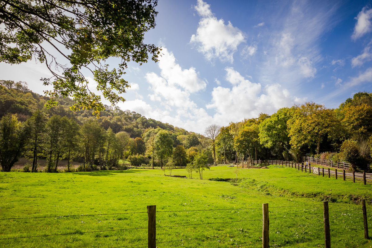
Un point de vue tout en hauteur, Pierrefitte-en-Cinglais était autrefois un village très dynamique, perché à 250m d’altitude, il est le point le plus haut du Pays de Falaise.
Depuis Tréprel, avant l’ascension vers Pierrefitte-en-Cinglais et son magnifique panorama, le parcours permet de sinuer dans le cœur sauvage du Val la Hère.
La variété des paysages d’un versant à l’autre offre un éventail complet des milieux naturels de la Suisse Normande.
En contrebas sillonne l’Orne, principal fleuve bas normand, alimenté par la Hère et le ruisseau d’Orival.
Pierrefitte-en-Cinglais was once a lively village, perched at 250m above sea level, and is the highest point in the Pays de Falaise.
From Tréprel, before climbing to Pierrefitte-en-Cinglais and its magnificent panorama, the route winds through the wild heart of Val la Hère.
The variety of landscapes from one side to the other offers a complete range of natural environments in the Suisse Normande region.
The Orne, Normandy?s main river, flows below, fed by the Hère and the Orival stream.
Localisation & itinéraire
Informations pratiques
Mise à jour : 2025-04-08 00:00:00