Trail - Sur les hauteurs de l’Eminence
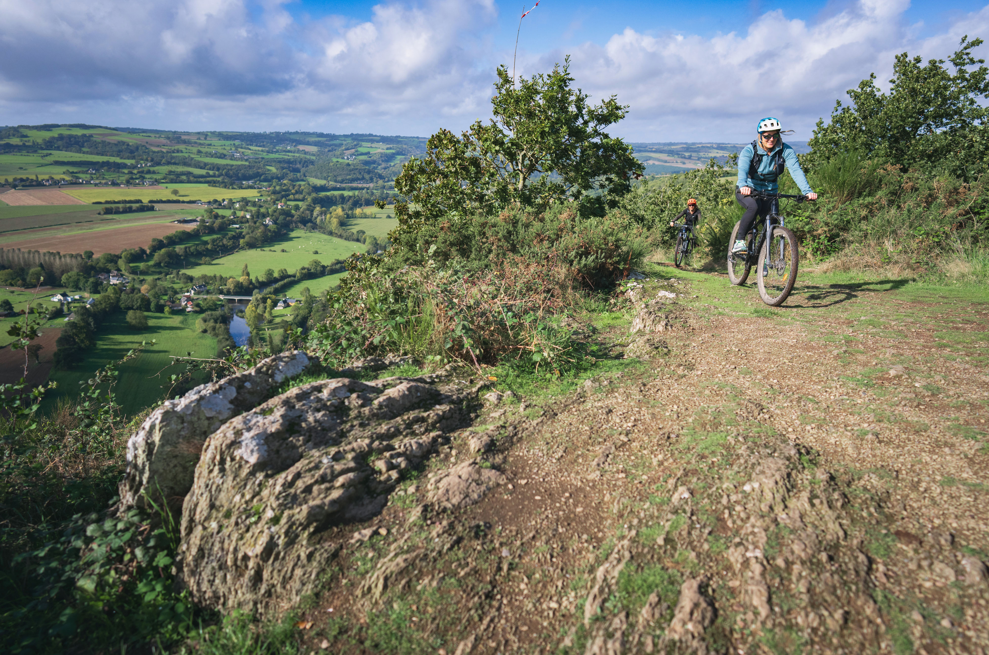
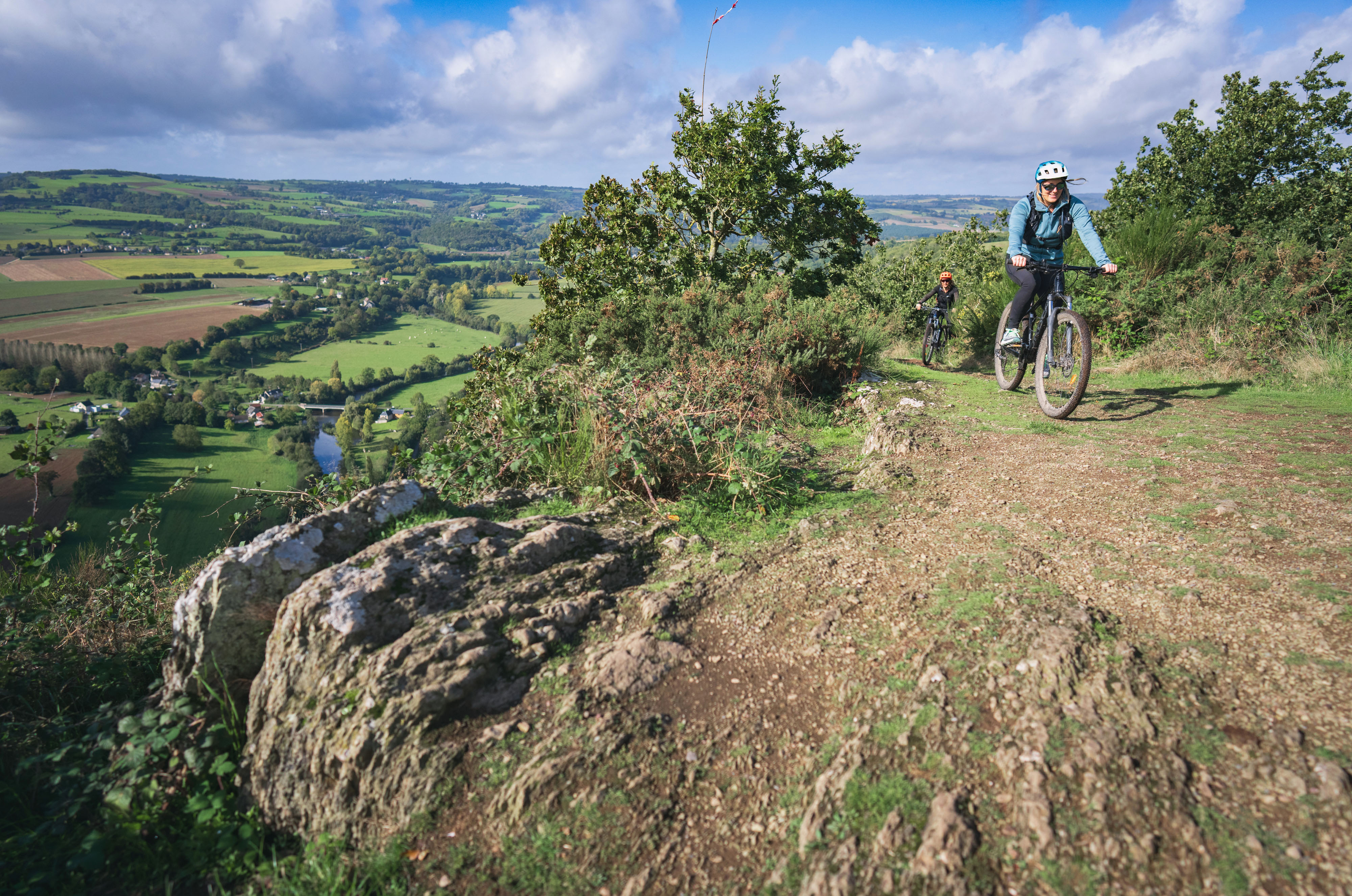
Après un début de parcours au cœur des hameaux de Clécy, découvrez le village de la Villette en passant par le site naturel de l’Eminence, point culminant de la Suisse Normande à 253 m. Rejoignez ensuite Cantepie puis la Serverie avant l’ascension du Pain de Sucre sur les Rochers de la Houle. Votre parcours se prolonge dans la Vallée des Vaux jusqu'aux Bruyères du Bô.
After a start in the heart of the hamlets of Clécy, discover the village of La Villette via the natural site of Eminence, the highest point of the Suisse Normande at 253 m. Then join Cantepie and Serverie before climbing the Pain de Sucre on the Rochers de la Houle. Your route continues on the GR36 to the foot of the famous Physicist's path located at the level of the church of Vey. A beautiful finish with the path of the Cambronnerie rocks and the 30% slope of the Faverie that you will take on the way down.
Localisation & itinéraire
Informations pratiques
Mise à jour : 2026-09-25 00:00:00